Centenary Trail to One Tree Hill
17 June 2014
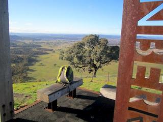
Many members of the local community will have taken a walk up the Centenary Trail to One Tree Hill - or beyond, to Mulligans Flat. If you haven't yet - why not give it a go?! Hall to Mulligans Flat is the only completely new section of trail, and arguably the best of the lot.
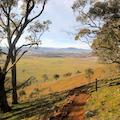
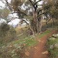
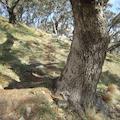
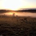
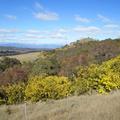
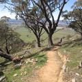
Taking off from the start of the track leading up to the reservoirs at the corner of Hall and Hoskins Streets, the trail to One Tree Hill is a steady, mostly pretty gentle climb up the side of the ridge. The final few hundred metres to the lookout is steeper - but by that stage the reward of a fine view back over Canberra is only a few minutes away. The trail takes you through a surprising amount of timbered country, broken regularly by views across the Halls Creek valley and later, Gungahlin. The trail is well formed, with 'track hardening' at wet spots, but good walking shoes are recommended.
The lookout at One Tree Hill makes an obvious and attractive point to turn around (see photo). There is some timber seating and an interpretive sign telling the significance of the spot. One Tree Hill is a Trigonometrical Station ('trig') dating from the early nineteenth century when it was used for cadastral surveys, and for proclamation of the County of Murray in 1829.
One of the satisfactions of sitting at the top of the Hill is knowing exactly where you are - Latitude S 35 08' 31.5043'; Longitude E 149 05' 28.8183'. Elevation 875.948!
'One Tree' derives from the common practice of removing all trees except one from the crown of a hill.
Charles Scrivener later took this trig point as his 'commencing point' when he was asked to survey the site for the future Federal Capital. [see 'Charles Robert Scrivener', a biography by well known local author Terry Birtles]. The long straight line of the ACT border in this corner of the ACT is Scrivener's line of sight connecting One Tree Hill with Mount Coree.
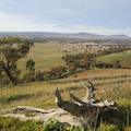
"One Tree Hill provides a spectacular vista of the Canberra site (the view now overlooks the Gungahlin new town and extends as far south as the Tinderry Range east of Michelago village to embrace Mount Tennant, Mount Tidbinbilla, Mount Stromlo, Mount McDonald and Mount Spring" (Birtles p. 111).
The walk will take around an hour each way, but is easier going on the way back. Just now (July) there are flame robins to see, as well as the usual local bird life, and lots of kangaroos. You may also spot rufous-necked wallabies or a pair of wedge-tailed eagles. Just do it.
[Photos Alastair Crombie; Andrew Purdam]
One Tree Hill walk
 |
 |
 |
 |
 |
 |
 |
 |
 |
 |
 |
 |
 |
 |
 |
 |
 |
|||


